
Even more than 70 years after the end of the war, there are still numerous explosive ordnance sites underground in the Federal Republic of Germany. In the event of ground intervention, these pose a considerable risk to the protected interests of public safety (in particular life and health, freedom, property of individuals) or public order.
In addition to various types of written sources, historical aerial photographs taken by Allied reconnaissance units in particular are an essential medium for reconstructing and spatially delimiting potentially explosive ordnance-contaminated areas.
Aerial photographs were usually taken in the run-up to attacks to reconnoitre possible targets, but also during or in the aftermath of bombings for "success control". In the BFR KMR (Baufachliche Richtlinien Kampfmittelräumung), aerial photographs are described as "objective "contemporary witnesses" of a region at the time they were taken".
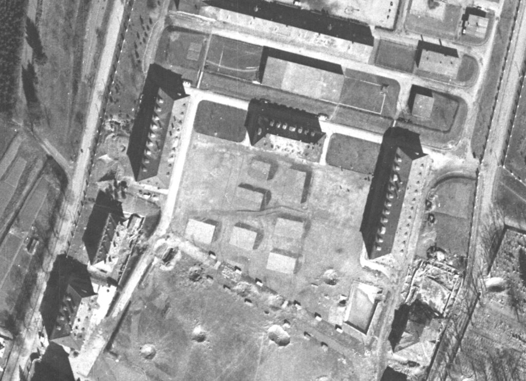
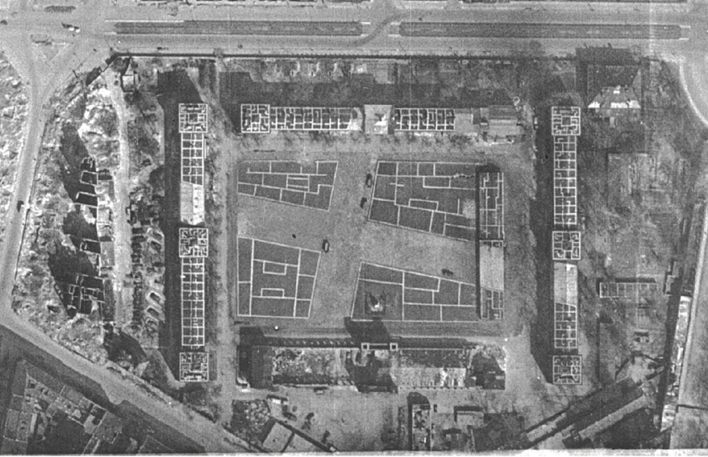
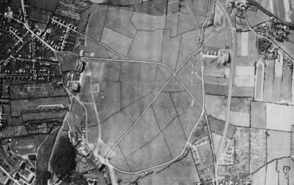
In addition to the effects of Allied bombing, they show other potentially explosive ordnance-relevant objects and structures such as various types of emplacements (cover holes, trenches, flak positions, etc.), military facilities and areas (airfields, firing ranges, barracks, training areas) or natural cavities in which explosive ordnance may have been placed.
The interpretation of historical aerial photographs is not only complicated by poor image quality and/or image errors; the attempt to mislead enemy air reconnaissance through camouflage measures also poses a challenge for today's evaluators.
The measures of camouflage and deception of the time were very varied and served different purposes.
In addition to the concealment of objects, measures of camouflage and deception served above all to make the identification of objects (e.g. types of aircraft or ships) more difficult, to prevent the detection of targets during bombardments and to simulate the existence of civilian or military objects, installations and facilities.
While it was relatively easy to conceal smaller installations by using camouflage nets and branches or painting, such projects were associated with immense challenges for larger objects or installations. Aware that larger installations could not be completely concealed, the focus was often on giving them a different appearance in order to make their identification more difficult.
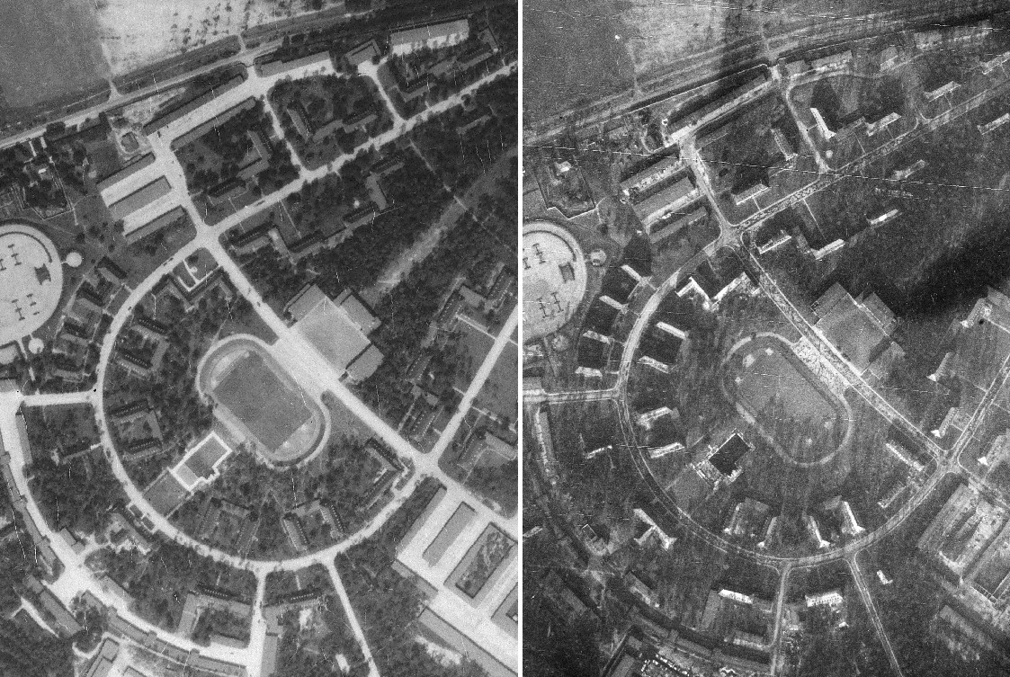
The change of appearance was a widespread measure to make target finding more difficult during bombardments. During the approach to the target, the navigators usually oriented themselves on prominent landmarks and building structures (e.g. conspicuous building structures, squares, bodies of water). Visual changes to these structures made navigation more difficult, which meant that the corresponding attack targets could only be recognised with a delay or, at best, not at all.
Another means of deception was the construction or installation of dummies. These could be individual objects such as dummy aircraft or anti-aircraft emplacements, but also large-scale dummy installations (e.g. oil tanks or factories). Such dummies were intended to simulate troop presence or potential targets. Deception and camouflage measures are usually easy to recognise for an experienced aerial image evaluator within the framework of stereoscopic evaluation and in the course of multi-temporal image viewing. However, in the absence of experience or an insufficient aerial image base, they harbour the danger of fundamental misinterpretations, which in the worst case can lead to a correspondingly incorrect assessment of the suspected explosive ordnance.