Many of our core topics - environment, infrastructure, construction management and renewable energies - have one thing in common: there is a high demand for specific and up-to-date data. This includes LIDAR surveys, image surveys, photos, videos and multispectral analyses as established methods as well as new areas of application in the field of magnetics or sensors for soil, water and air.
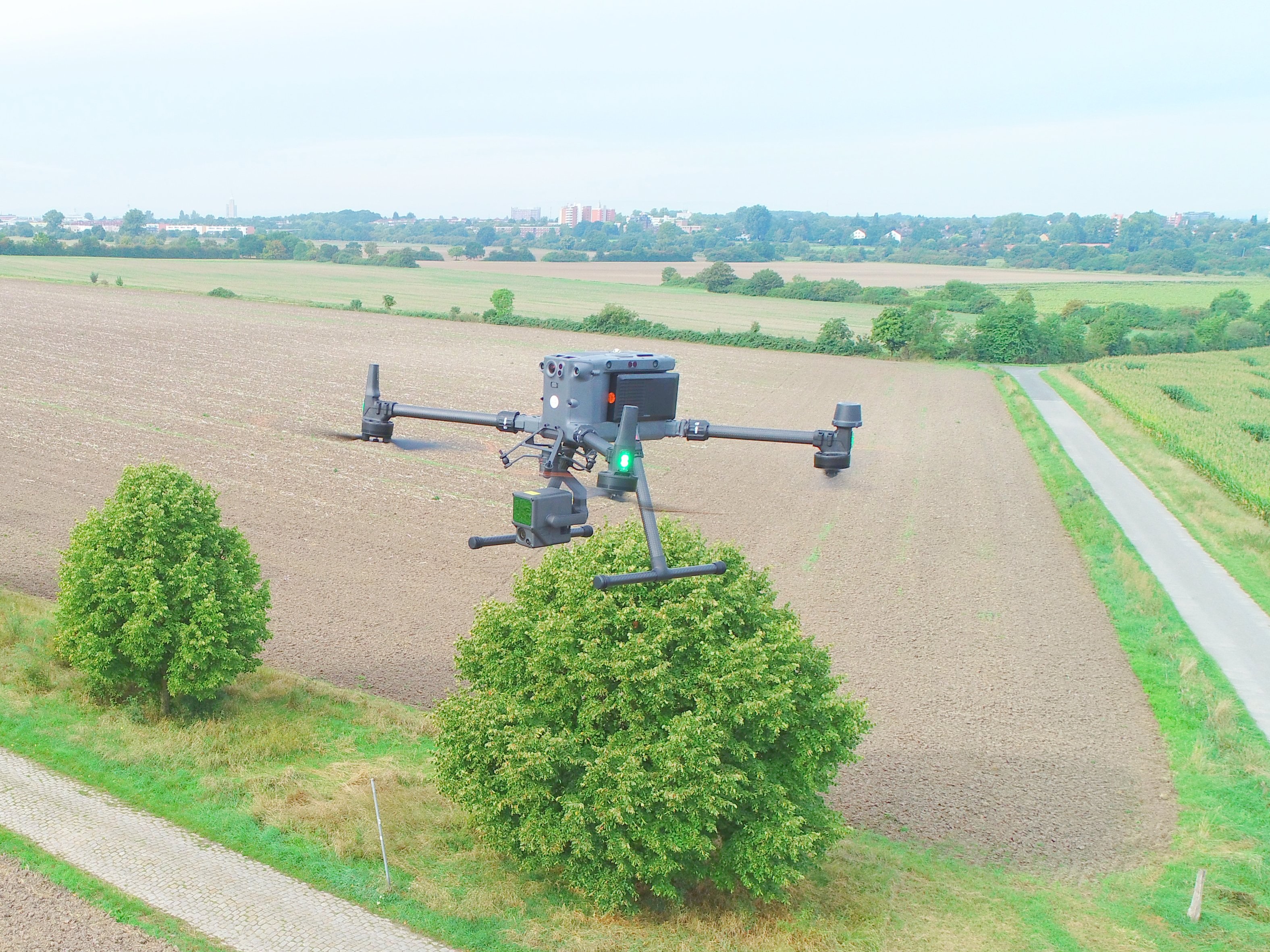
Mull und Partner Ingenieurgesellschaft has responded to the requirements and has been using camera drones for documentation and surveying purposes based on photogrammetric methods since 2019. In 2023, we took a further step with the use of drone platforms in the "up to 10 kg" class. Since this year, we have been travelling with impressively powerful equipment including LIDAR and can produce precise 3D models and aerial images in real time thanks to RTK (Real Time Kinematics). Further areas of application for special sensors are in preparation.
Our team of specialists mastered the transition to the new drone class with ease. The class A2 flight licence and the EASA STS certificate for high-risk areas are feasible with manageable effort. Looking back, the biggest challenges for us were the complicated regulations and authorisation procedures for the use of such heavyweights. We are now well versed in this discipline too and look forward to exciting tasks.
In addition to routine tasks, we are also driven by curiosity as to how we can solve previous tasks more efficiently using drone technology. Particularly in the area of 3D monitoring, i.e. where volume differences or changes to surface models are involved, there are positive signals from the projects. We are looking forward to the next few months for issues relating to soil protection, biomonitoring and magnetics and will report back here.